Aroundegon Day Twelve: Land's Inn to Monument

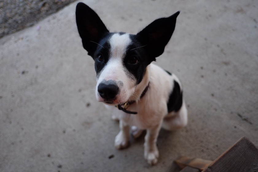
I met this comically cute puppy at the store in Kimberly.

Distance: 30 miles (of 420 total)
Elevation Gain: 1,000 feet (of 19,400 total)
Deer Spotted: 7 (three of which with four points or more)

Yesterday was a long day so I made today a short one, both on the bike and on the blog. Here are three quick things worth noting:

  • I stayed completely dry today, despite the forecast calling for thunderstorms.
  • I was only passed by two cars on my entire 30 mile ride.
  • I'm now over halfway through my trip.

I'm staying in Monument tonight at a motel with WiFi (hence the flurry of blog posts) and then getting back to serious riding tomorrow. Three mountain passes, sixty miles, and camping. Hopefully the sunny forecast holds true.

This post is part of a series on my bicycle tour around Oregon. You can find my other posts here.

Aroundegon Day Eleven: Ochoco to Land's Inn

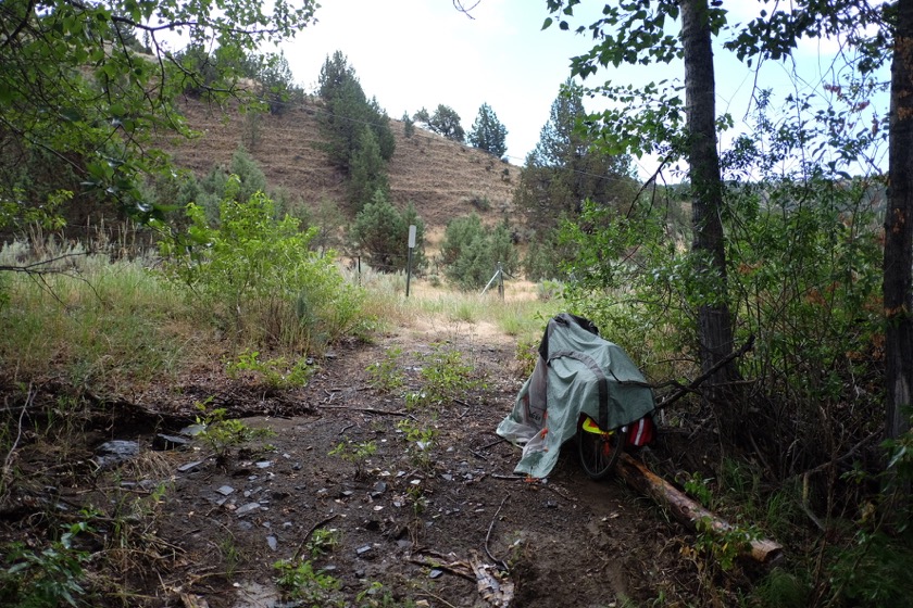
Not a great place to be during a thunderstorm, but it beats the open road.

Distance: 65 miles (of 390 total)
Elevation Gain: 6,000 feet (of 18,400 total)
Miles since seeing another cyclist: 170

If nothing else, this trip has been a long, slow proof of the saying that "If it's not one thing, it's another." If it's not the hills getting me down, it's the miles. If it's not the miles, then it's the wind. If not the wind, the rain. If not the rain? Lightning.

I started the day in the Ochoco Forest with a hot breakfast that Liz made. We said our goodbyes and then I was off again, headed northeast with plans to spend the night at a "pilots' ranch" called Land's Inn (basically just an airstrip with a few small cabins for guests).

As I was approaching Mitchell, I started to notice thunderheads on the horizon. Not long after, a man in a minivan with a Georgia accent pulled up alongside me and asked if I needed anything like food or water.

"Have you heard a weather report?" I asked. I'd been without cell or internet service for two days and had no way of knowing.

"No," he replied. "But it doesn't look good."

I ate a cheeseburger in Mitchell and then hurried on, making it a couple miles up the next pass before the rain began to fall. Soon after, I heard a rumble that was too close to ignore. Dammit, I thought, should've stayed in the restaurant.

So, two options: ride back to Mitchell, hoping nothing too exciting happens while I'm on the road, or pull off and look for shelter. Not wanting to be on the road any longer than necessary, I pulled off near a forested embankment, covered my bike with my rain fly, and crouched down, as I've heard you're supposed to do if you're caught out in a lightning storm. The rain passed over and soaked me, I heard a couple more strikes, and then just like that, the skies cleared again.
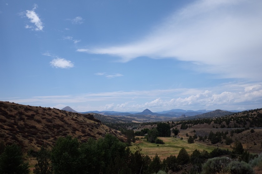
Clear skies over the Ochocos.

I rode over Keyes Creek Pass and then continued through the several hour descent to Highway 19, in the John Day National Monument. I turned off the road at the sign for Land's Inn and began my climb up the hill. At this point, I'd ridden about 60 miles, climbed about 4,200 feet, and was more than ready to call it a day. According to my research, it was only five miles up the road and a few hundred feet above the John Day River, which I'd been riding next to. The shrubs and grass were all charred black, burned by a wildfire that had passed through a couple weeks before.

The hill wasted no time in kicking my butt. I had been riding hard for fifteen minutes or so before I saw the first mile marker. Four more miles to go, but I'd probably done most of the climbing already. I was still in high spirits.

After I'd been riding for a few more minutes an older man on a four-wheeler drove up alongside me and asked where I was headed. Land's Inn, I said, and then asked how much further up the road it was. He paused for a moment, and then pointed to the highest hill I could see on the horizon, easily over a thousand feet above us.

"See that ridge?" he asked. "It's up there."

"You're kidding, right?" I asked. Clearly my research was way off.

I continued on, passing the second mile marker, and then the third. I'd been making my way up the hill for the better part of an hour now and starting to lose hope. Obviously if I kept climbing I'd make it there eventually, but would eventually come before sundown? Before tomorrow?

Then it hit me. A small rain drop, on the back of my right hand. And then another. The rain picked up quickly, and within a few minutes I was wet again. Except that this time there were no trees under which to take shelter, only burned black trunks. When the rain progressed to a complete downpour, I set my bike down in the ditch and buried my face in my hands. I wanted to go home.

Feeling even more depressed about not making any forward progress, I climbed back on the bike and continued up the muddy road. I arrived at Land's Inn a few minutes later, cold and wet, but most importantly, done with what had been a long, taxing day.
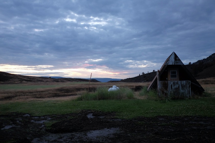
Not a bad place to spend the night.

The owner of Land's Inn, Tom, set me up in an A-frame next to the airstrip and gave me some leftovers to heat up in the rudimentary kitchen at the back of the airplane hangar. I had a shower, too, and then shared a few beers with the ranch's other guests, Jerry, Jack, and Abby. By the time I crawled into bed I was warm, dry, and ready to continue my journey.

This post is part of a series on my bicycle tour around Oregon. You can find my other posts here.
Aroundegon Day Ten: Bend to Ochoco

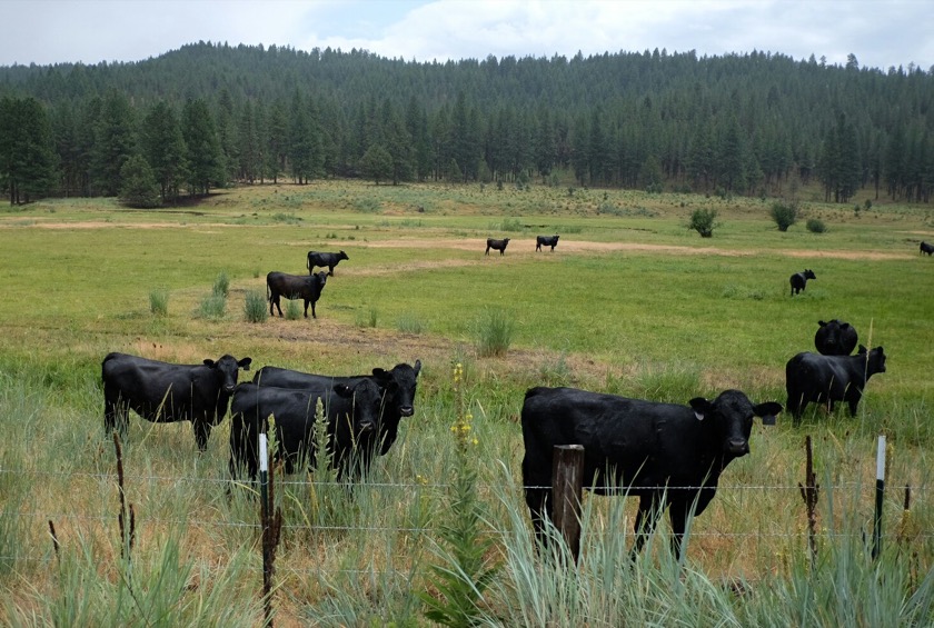
These cows found me pretty interesting.

Distance: 55 miles (of 325 total)
Elevation Gain: 2,000 feet (of 12,400 total)
Big Macs: 1

I'll never forget the first long ride I ever took on a bicycle. I was twelve years old and following a local bicycle club on a ride up Decker Road on the outskirts of Corvallis. It was only thirty miles or so, but thirty miles in the cold, wet, middle of winter, and I wasn't well prepared. When I got home, fully soaked through and cold, I stood in the shower for ages, until I could feel my fingers and toes again. After the shower I changed into my pajamas, ate an entire family-size box of Kraft macaroni and cheese, and watched television. I was sure I'd never ride bikes again, at least not in the rain.

Today's trip from Bend started off well enough. The sun was out from Bend to Prineville, and the WiFi at the public library in Prineville allowed me to check in with Rachael, who's still in Peru. I stopped in at McDonald's on the other side of town for a Big Mac. The clouds were starting to gather now so I checked the weather report and found a thunderstorm and flash flood warning for the entire area I'd be riding through. Maybe if I rode fast enough I'd beat the rain.

I didn't beat the rain. It sprinkled on me off and on all the way out of Prineville, and then, when I was about ten miles from the campground, it opened up with big fat drops that left me soaked. I had expected to be battling the heat on this side of the Cascades, so I didn't bring much for rain gear. And not only was I materially unprepared, but emotionally, too. Rain can be incredibly demoralizing, and today's was especially so. I couldn't help but think back to that first bike ride fifteen years ago, when I swore that it wasn't for me. But I got back on the bike that time, and I'm sure I'll do the same tomorrow.

This post is part of a series on my bicycle tour around Oregon. You can find my other posts here.

Aroundegon Day Nine: Catching Up in Bend

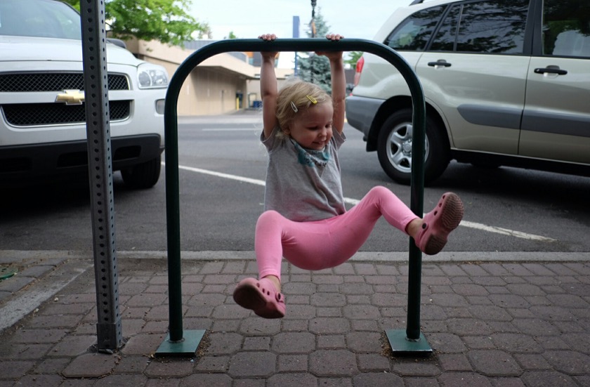
This bike rack in downtown Bend doubled as a Piper-sized pull up bar.

When I originally started planning this trip back in February, I figured I could make the whole, Aroundegon loop in about ten days straight of riding. After I looked at the elevation profiles I stretched that out to twelve, and then I added a couple rest days, and then a couple more. Now the whole thing will be about twenty days long. I'm not in any hurry to have the trip over with, so why rush?

It's funny to think that I hadn't originally planned to spend a full day in Bend, because it turns out that that was exactly what I needed. Not only was I exhausted from climbing the McKenzie Pass yesterday and in need of some rest, it also felt really good to catch up with my old friends, Mike and Liz, and their daughter Piper.

Tomorrow I'll continue east to the Ochoco National Forest, the first day in a five day journey to Pendleton.

This post is part of a series on my bicycle tour around Oregon. You can find my other posts here.

Aroundegon Day Eight: Paradise to Bend

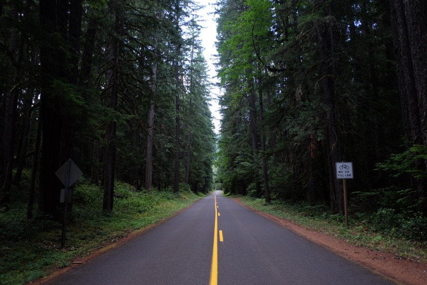
The Old McKenzie Highway. Easily the most beautiful road I've ever ridden. The sign says "Bicycles May Use Full Lane."

Distance: 65 miles (of 270 total)
Elevation Gain: 5,300 feet (of 10,400 total)
Horse-flies killed: 3

I started the day around sunrise at a campground on the McKenzie River. I was happy to find my tent dry and also not struck by lightening (I could see flashes as I was going to sleep). The first four hours of the day were spent climbing up and over the McKenzie Pass and then descending into Sisters. I'd read before that this was one of the most beautiful road rides in the world, and now I know they weren't exaggerating. The road twists up to McKenzie Pass through towering Douglas Firs on smooth, nearly traffic-free roads. In 20 miles I saw only 14 cars, about one every 20 minutes. Incredible.

One of the nice things about dragging a 70 pound bike over a 5,000 foot mountain pass at about four miles an hour is that it gives you plenty of time to make a mental list of all the crap you didn't need to bring so that you can send it home when you get to the next post office. Among the items I'll be returning: extra tent stakes, extra t-shirt, and deodorant (sorry in advance, future hosts). I figure saving two pounds is worth the trouble.

Thunderstorms and rain threatened once I was on the other side of the mountains, but I stayed dry.

Surprisingly, the more grueling part of the day came on the (mostly) flat leg from Sisters to Bend. I had a stiff headwind the entire way and had to ride part of the distance on Highway 20, which has a decent shoulder but is too busy for my tastes. Hopefully that's the last busy road I'm on for a while.

My final destination in Bend was the home of my dear friends Mike, Liz, and their daughter Piper. I took a shower to scrub the road off of me and then ate chicken burgers, corn, and pickles on their back porch. I've never been here before, but it felt like coming home.

This post is part of a series on my bicycle tour around Oregon. You can find my other posts here.
Aroundegon Day Seven: Eugene to Paradise

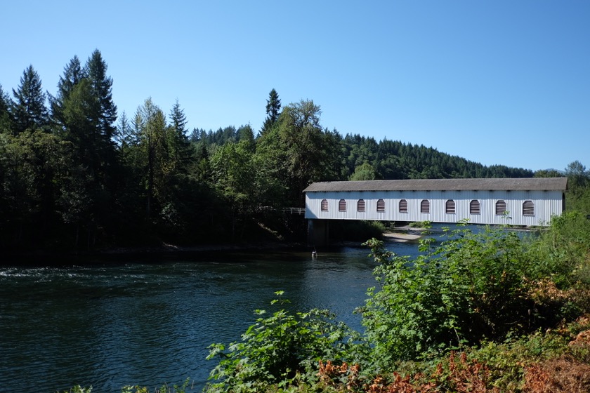
A covered bridge over the McKenzie River.

Distance: 60 miles (of 205 total)
Elevation Gain: 2,100 feet (of 6,100 total)
Peanut butter and honey tortilla wraps: 3

I got on the road around 6:30 a.m. today to begin the long, gradual ride up the McKenzie River. The ride wasn't quite as nice as yesterday on account of a little more traffic and a little less shoulder, but I got through it just fine.

It was around 1 p.m. when I pulled into Paradise Campground. I cracked open a beer I'd bought at the last gas station along the road, drank it, and promptly fell asleep on the picnic table for a couple hours (I'm sure you can picture it). When I woke up I pitched my tent a few feet from the McKenzie and headed to Belknap Lodge for dinner and some sweet, sweet WiFi.

If all goes well, tomorrow will take me up and over the pass to Bend on the McKenzie Scenic Highway. It's one of two days on my trip with a mile of vertical elevation gain. Needless to say, I'll be taking my time.

This post is part of a series on my bicycle tour around Oregon. You can find my other posts here.
Aroundegon Day Six: Albany to Eugene

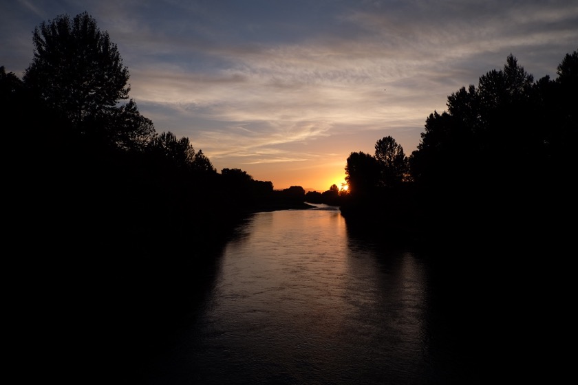
Sunset on the McKenzie River.

Distance: 47 miles (of 145 total)
Elevation Gain: 1,000 feet (of 4,000 total)
Crops: Grass seed, corn, wheat, filberts (hazelnuts for us city slickers), mint, squash

I got a late start out of Albany today but a brisk (and welcome) tailwind made up for it. The route took me through Brownsville and Coburg, and over a small but steel climb on Gap Road. I rode by a cousin's house and stopped in to catch up over a tall glass of ice cold lemonade. It was a really pleasant ride.

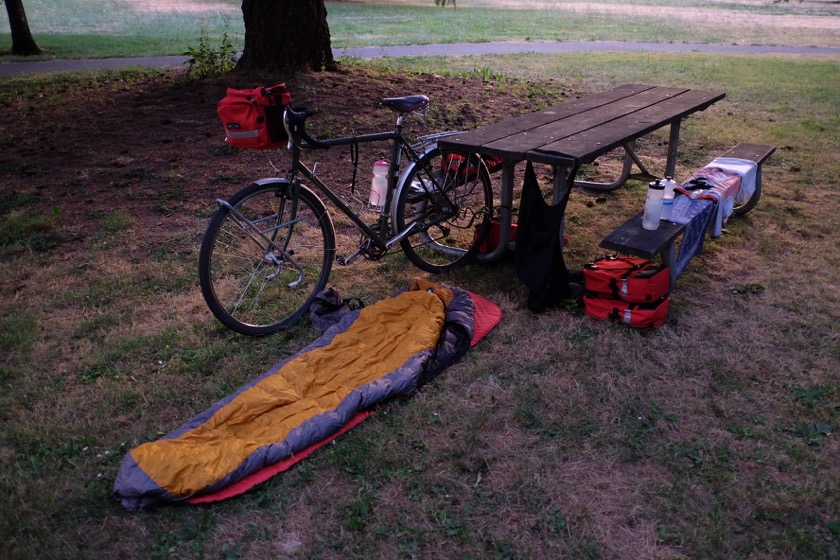
A tent would've kept the earwigs at bay, but I was too lazy to set it up.

I stopped at Armitage County Park for the night and paid twenty dollars to lay out my sleeping bag in the grass and take a shower. Dinner was a zaatar pizza in Coburg, half of which became breakfast the next morning (well, a little less than half - I had to share it with a few earwigs that made their way into the foil wrapping).

Tomorrow I'll point my bike to the east and head into the mountains.

This post is part of a series on my bicycle tour around Oregon. You can find my other posts here.
Aroundegon Day Five: Catching Up in Albany

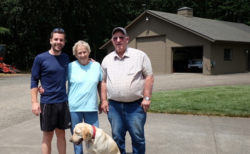
Me with Grammy and Grandpa and Tobey, who has a hard time focusing.

My mom's parents, Clyde and Claudette, live in the middle of a hundred acre grass seed field in between Albany and Tangent, Oregon. It's a peaceful place to spend a day, and despite being only a couple days into my trip, that's what I needed.

This post is part of a series on my bicycle tour around Oregon. You can find my other posts here.
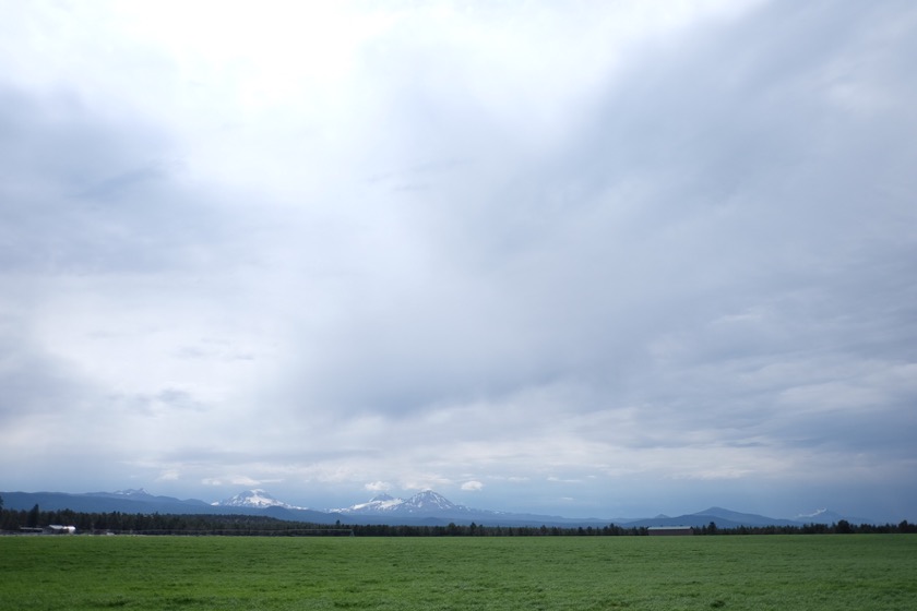
Aroundegon Day Four: St. Paul to Albany

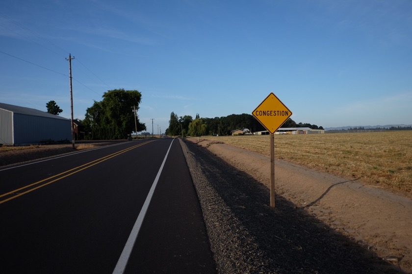
Not really.

Distance: 65 miles (of 97 total)
Elevation Gain: 1,400 feet (of 3,000 total)
Deer: 3

I left around 6:15 a.m., before the kids woke up. The air outside was cool and calm, something I hadn't felt for months. The first 20 miles had gone by quickly when I happened upon a man dressed up as a Southern Rebel putting up a sign for a Civil War reenactment at the entrance to a state park. I'd never seen one before, so I rode the few miles into the park to investigate. The battle itself wasn't until later in the day, but I was still able to look at their setup, compete with canvas tents, uniforms, and flags from the era.

I continued on through Salem, and then Independence, where I caught a headwind and a little bit of discouragement. Still, the weather was nice and there weren't many cars, so I was happy.

Then I went on to Buena Vista, and then Albany, where I saw my grandparents for the first time in a year and sipped iced tea on their back deck.

This post is part of a series on my bicycle tour around Oregon. You can find my other posts here.
Aroundegon Day Three: Independence

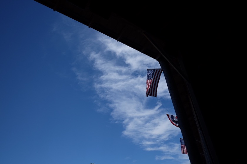
Flags in the sun at the St. Paul Rodeo grounds.

Another great day in St. Paul, with a parade in the sun to start the day and then another round of rodeo in the afternoon. I tagged along behind my sister and brother-in-law's family circus like I was their first, much, much older child. Unfortunately they weren't able to put me down for a nap but I still got through the day just fine.

After the sun and their three kids went to bed Kjerstine, Chris and I sat out on their back porch and watched the fireworks fly above St. Paul. It's hard to imagine a better way to spend the fourth of July.

Tomorrow morning I'll rise early and ride to my grandparents' house in Albany. It'll be the longest distance I've ridden in years, but mostly flat. I'm looking forward to it.

This post is part of a series on my bicycle tour around Oregon. You can find my other posts here.